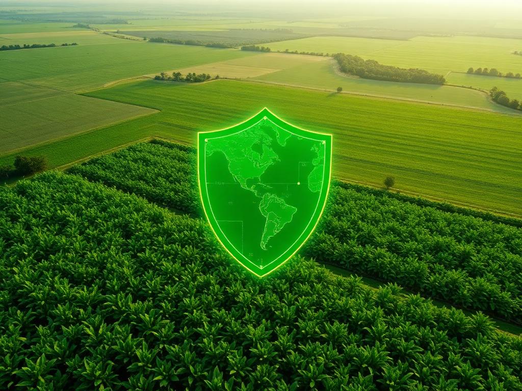
Agricultural landscape from above
AI · GIS · Satellite · Analytics

Agrivision: Reimagining Agriculture Through AI and Geospatial Intelligence

Combining Artificial Intelligence, GIS, Satellite Imagery, and Predictive Analytics to help build a more resilient, productive, and sustainable agricultural future.

AI
Models
GIS
Spatial
EO
Satellite
Satellite imagery of farmland
Remote sensing
NDVI · Field 04+12% vigor
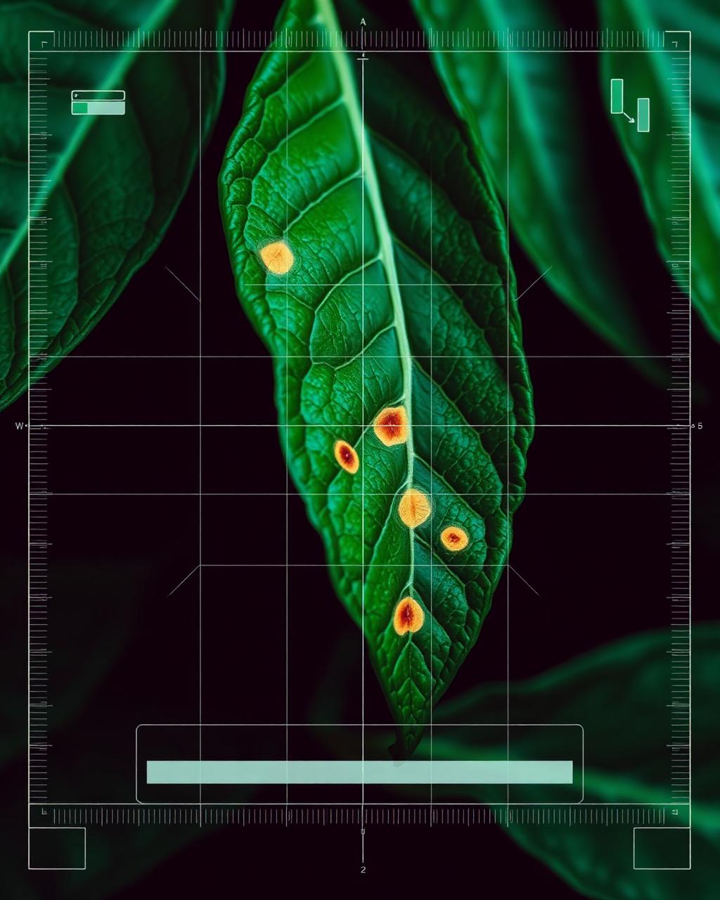
AI leaf disease scanning
AI detection
Geo · AI
· Artificial Intelligence ·· Geographic Information Systems ·· Earth Observation ·· Remote Sensing ·· Predictive Analytics ·· Climate Intelligence ·· Food Security ·· Artificial Intelligence ·· Geographic Information Systems ·· Earth Observation ·· Remote Sensing ·· Predictive Analytics ·· Climate Intelligence ·· Food Security ·
About Agrivision

A forward-looking agricultural intelligence initiative.

Agrivision is designed to explore how emerging technologies can transform farming and food systems. The project envisions a future where farmers, organizations, and policymakers can make better decisions using data-driven insights generated from satellite imagery, artificial intelligence, and spatial analytics.

AI models
Earth observation
GIS analytics
Sustainability
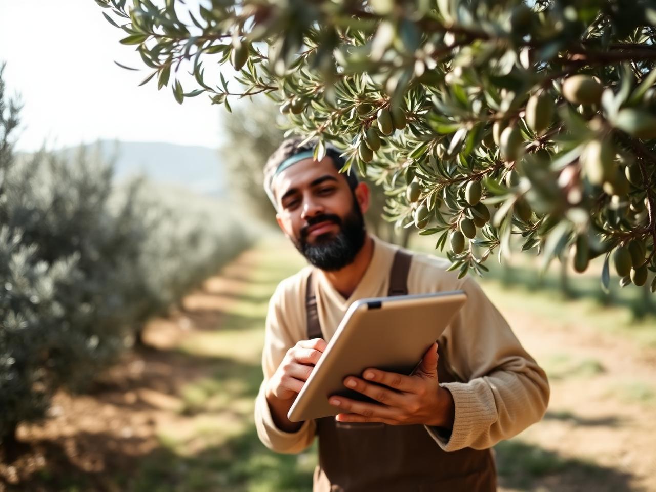
Farmer using technology in the field

"Technology should serve the soil, not replace those who tend it."

— Agrivision mission

The Challenges

The challenges we aim to address.

Agriculture sits at the intersection of climate, economics, and biology. Five forces shape the future of every harvest.

Crop Diseases

Millions of hectares are affected every year by diseases that reduce yields and threaten food security.

Climate Risks

Droughts, floods, and extreme weather events create increasing uncertainty for agricultural production.

Yield Uncertainty

Farmers often lack reliable information about expected production outcomes.

Market Volatility

Agricultural prices fluctuate significantly, making planning and investment decisions difficult.

Agricultural Risk

Limited access to risk assessment tools impacts financing and insurance opportunities for growers.

Our Vision

One holistic vision for the future of farming.

Six interconnected layers of intelligence — from the leaf to the landscape, from the satellite to the market.

01

Early disease detection

AI and satellite imagery to spot stress signals before they become losses.

02

Agricultural risk intelligence

GIS-driven mapping of climate, soil, and exposure across territories.

03

Crop monitoring & environment

Continuous remote sensing of vegetation, moisture and field conditions.

04

Yield forecasting

Predictive analytics for production planning and food system resilience.

05

Market intelligence

Signals that turn volatility into informed harvest and trade decisions.

06

Insurance & finance support

Trusted data layers that unlock fair agricultural financing.

Agrivision
AI
GIS
Satellite
Analytics
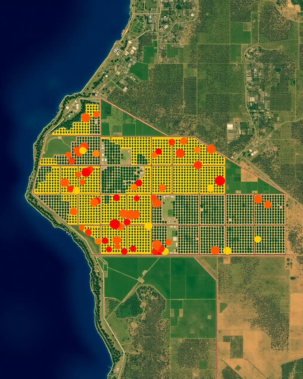
GIS satellite map of farmland
Spatial intelligence layer
Why GIS & Satellite

Seeing what farmers couldn't see before.

Earth observation and geospatial intelligence transform agriculture from reactive to predictive, from individual fields to entire food systems.

Remote sensing

Multispectral imagery reveals what the human eye cannot — water stress, chlorophyll, biomass.

GIS technologies

Layered spatial analysis connecting soils, weather, parcels and infrastructure.

Satellite monitoring

Persistent observation of fields and regions, from hectares to continents.

Environmental analysis

Climate, hydrology and ecosystem signals translated into decisions.

A Day with Agrivision

One farm. One season. Six tools in action.

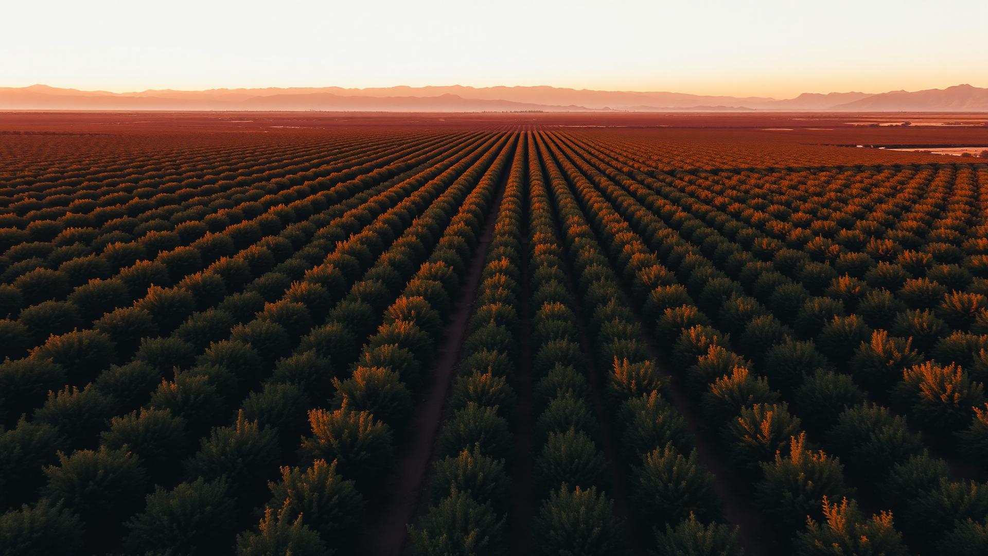
Follow a citrus orchard in the Souss Valley through a full season — and see how each Agrivision tool changes a decision that day.
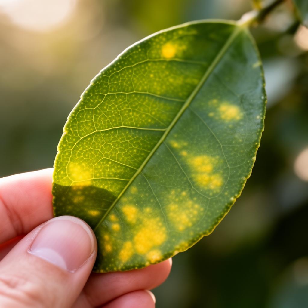
Disease Detection
STEP 01
Disease Detection

Yellowing leaves appear on a citrus tree.

A photo is uploaded to Agrivision. The AI instantly identifies early-stage citrus greening and recommends targeted treatment on just the affected hectares — not the whole orchard.
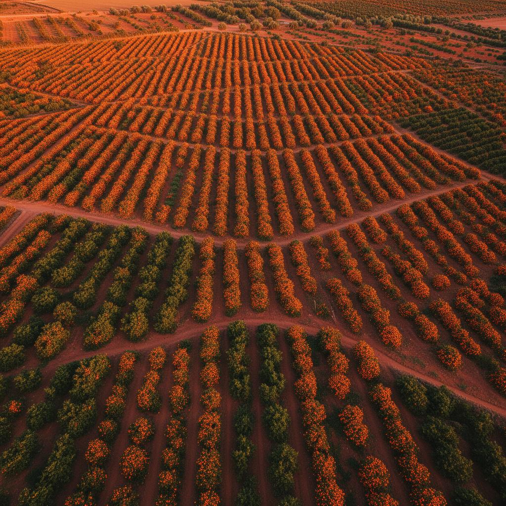
Up to 80% saved on pesticide cost
Satellite Monitoring
STEP 02
Satellite Monitoring

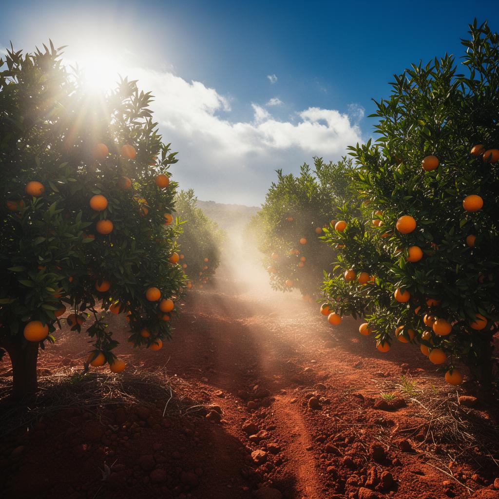
Which fields actually need water this week?

NDVI and soil-moisture layers from satellite imagery highlight stressed parcels in red. Irrigation is planned only where it matters.
Cut water use by ~30%
Climate Risk Map
STEP 03
Climate Risk Map

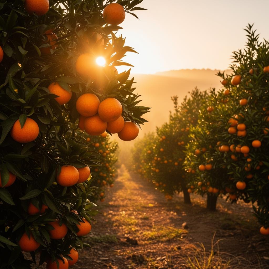
A heatwave is forecast for next week.

The GIS risk layer overlays weather forecasts on each parcel and warns of high heat-stress risk on young trees, so shade nets are deployed in time.
Avoided losing the new plot
Yield Forecasting
STEP 04
Yield Forecasting

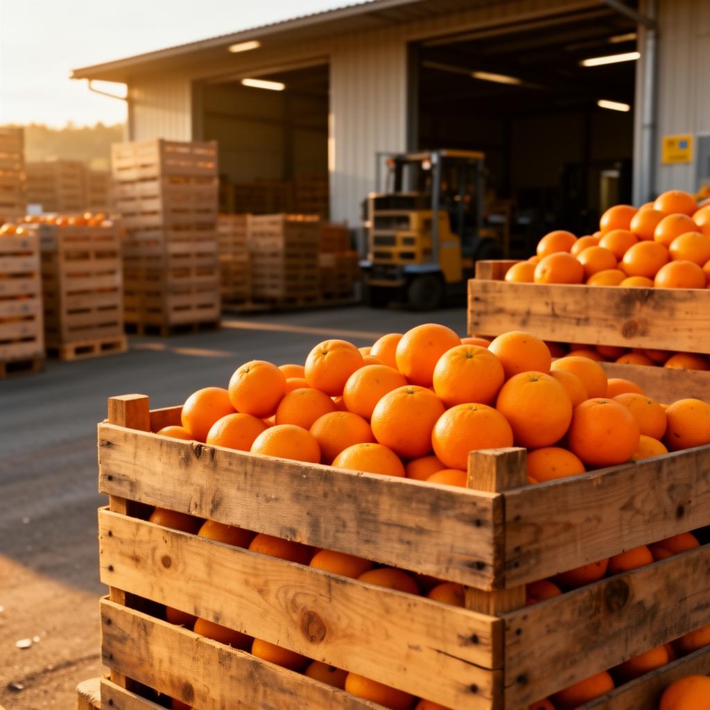
Harvest season is approaching.

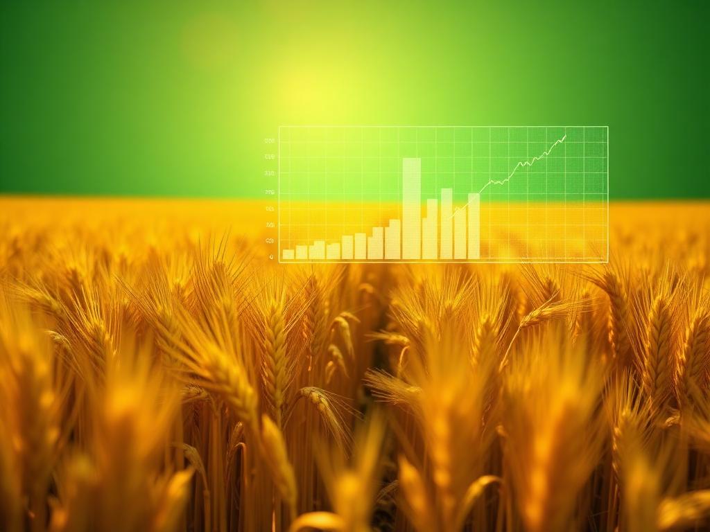
Predictive analytics estimate the harvest weeks ahead — enough lead time to negotiate contracts with exporters before prices drop.
Locked-in better contracts
Market Intelligence
STEP 05
Market Intelligence

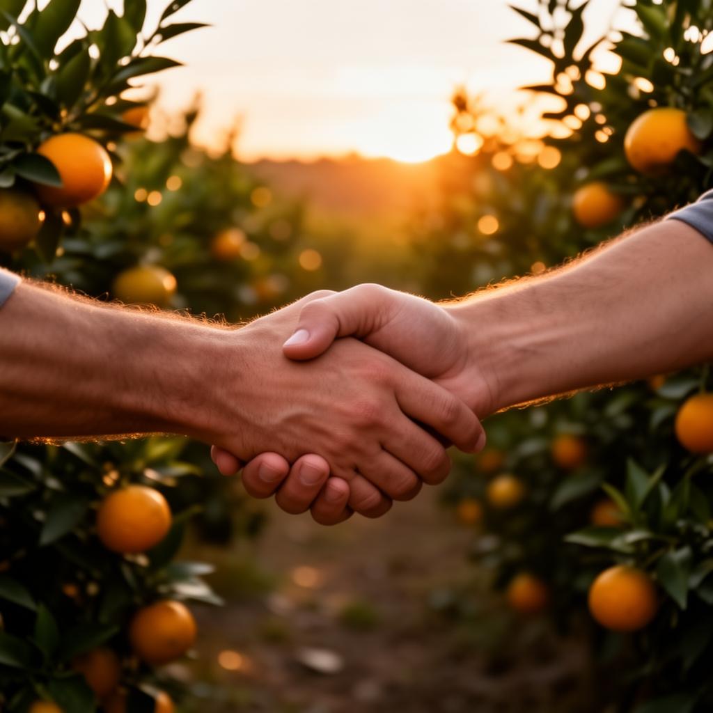
Sell now or wait?

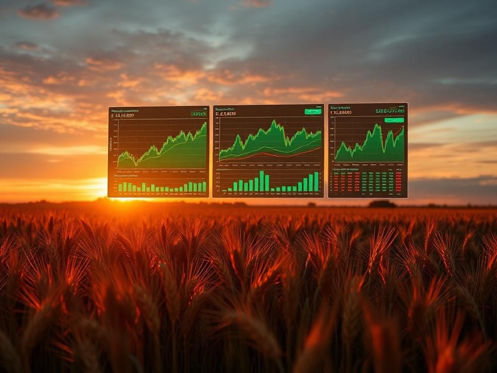
Live market signals show when EU demand peaks. The dashboard suggests when to hold stock and when to release staggered batches.
+20% potential revenue uplift
Insurance & Finance
STEP 06
Insurance & Finance

A loan is needed to expand the farm.

Agrivision shares a verified yield history and risk profile with the lender. Approval comes back in days, not months.
Financed the next harvest
Potential Impact

A measurable contribution to food, climate, and people.

Projected benefits when AI, GIS, and satellite intelligence are placed at the service of farmers and rural communities.

0%
Potential reduction in crop losses
0%
More efficient water & input use
0%
Faster decisions for growers
0×
Stronger climate resilience signals
Reduced crop losses
Improved food security
More efficient resource use
Better climate resilience
Increased productivity
Stronger support for rural communities
Innovation for Africa

A continent of farmers. A future of intelligence.

Africa faces unique agricultural challenges — fragmented plots, climate vulnerability, limited access to risk tools. Yet it carries the soil, the sun, and the people that will feed tomorrow.

AI, GIS, and satellite intelligence can leapfrog legacy infrastructure to deliver sustainable development, climate adaptation, and a transformation of food systems — built locally, for local realities.

Climate adaptationSmallholder supportFood sovereigntySustainable yield

From the Sahel to the savannah — geospatial intelligence at continental scale.

Future Roadmap

Six phases. One vision.

The Agrivision journey — from observing fields to powering decisions across the entire agricultural value chain.

PHASE 01

Agricultural Monitoring

Field-level observation through satellite imagery and remote sensing.

Agricultural Monitoring
Phase 01
01
PHASE 02

Disease Detection & Risk Analysis

AI models that surface early stress and biological risk signals.

Disease Detection & Risk Analysis
Phase 02
02
PHASE 03

Yield Forecasting

Predictive models translating data into expected production outcomes.

Yield Forecasting
Phase 03
03
PHASE 04

Market Intelligence

Price, demand, and trade signals connected to the harvest cycle.

Market Intelligence
Phase 04
04
PHASE 05

Agricultural Insurance Support

Trusted geospatial layers enabling fair risk transfer and coverage.

Agricultural Insurance Support
Phase 05
05
PHASE 06

Agricultural Finance & Decision Intelligence

A full decision layer for farmers, lenders, and food systems.

Agricultural Finance & Decision Intelligence
Phase 06
06
Agrivision logo

Founder · Agrivision

AI × Geospatial × Agriculture

Founder Vision

"To harness AI and geospatial technologies for the people who feed the world."

Agrivision was born from a conviction: that the most important problems of our generation — food security, climate change, rural livelihoods — deserve the most advanced tools we can build.

The mission is to harness the power of Artificial Intelligence and Geospatial Technologies to build innovative solutions that support farmers, strengthen food security, and contribute to sustainable agricultural development — in Africa and beyond.

Join the Vision

The future of agriculture starts with intelligence.

Investors, partners, accelerators, universities, and global innovation programs — let's build it together.